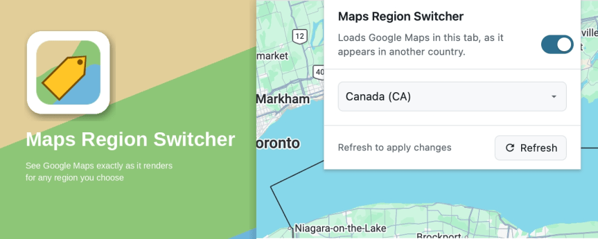
With the assistance of Claude AI (and motivated by recent geopolitical events), I created a browser extension to change the region Google Maps uses in your browser. Changing the region shows you what Google Maps looks like in that country, and it effectively remedies incorrect labels like "Lake America" on the map. Give it a … Continue reading Maps Region Switcher: a browser extension that loads Google Maps as it appears in another country
Category: Open Source
Using GDAL in Windows Terminal
A recent project at work required the use of the ogr2ogr program found found in GDAL (Geospatial Data Abstraction Library), a popular open source library for working with various geospatial data formats. My requirement was simply a command line utility for the purpose manipulating some data; I didn't need a GDAL library for a language … Continue reading Using GDAL in Windows Terminal
Friday FOSS shoutout – Pinta: Painting Made Simple
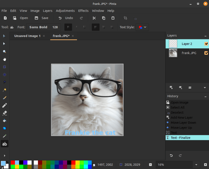
Here's a great free and open source image editing software title I've been using for the last year or so: Pinta: Painting Made Simple In my day to day work, I need to do simple photo editing: crop, resize, add text, convert between formats, etc. I also need the ability to add layers to an … Continue reading Friday FOSS shoutout – Pinta: Painting Made Simple
 Matt Callahan's Blog 📝